EXTREME CATEGORY / TROPICAL MOUNTAINEERING

Vidéo made by Margaux Thieury - 2020
Technical sheet
Name: Orohena
Summit height: 2241 meters / 7352 feet
Distance from start: 15km (one way) / 9 miles (one way)
Height difference: +2200 meters / 7217 feet positive
Duration: 3 days (2 nights in tent)
Average weight of trekking bag: 17kg to 20kg
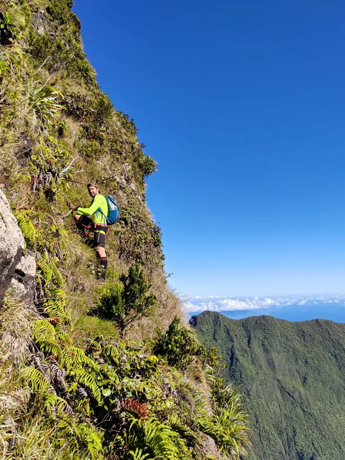
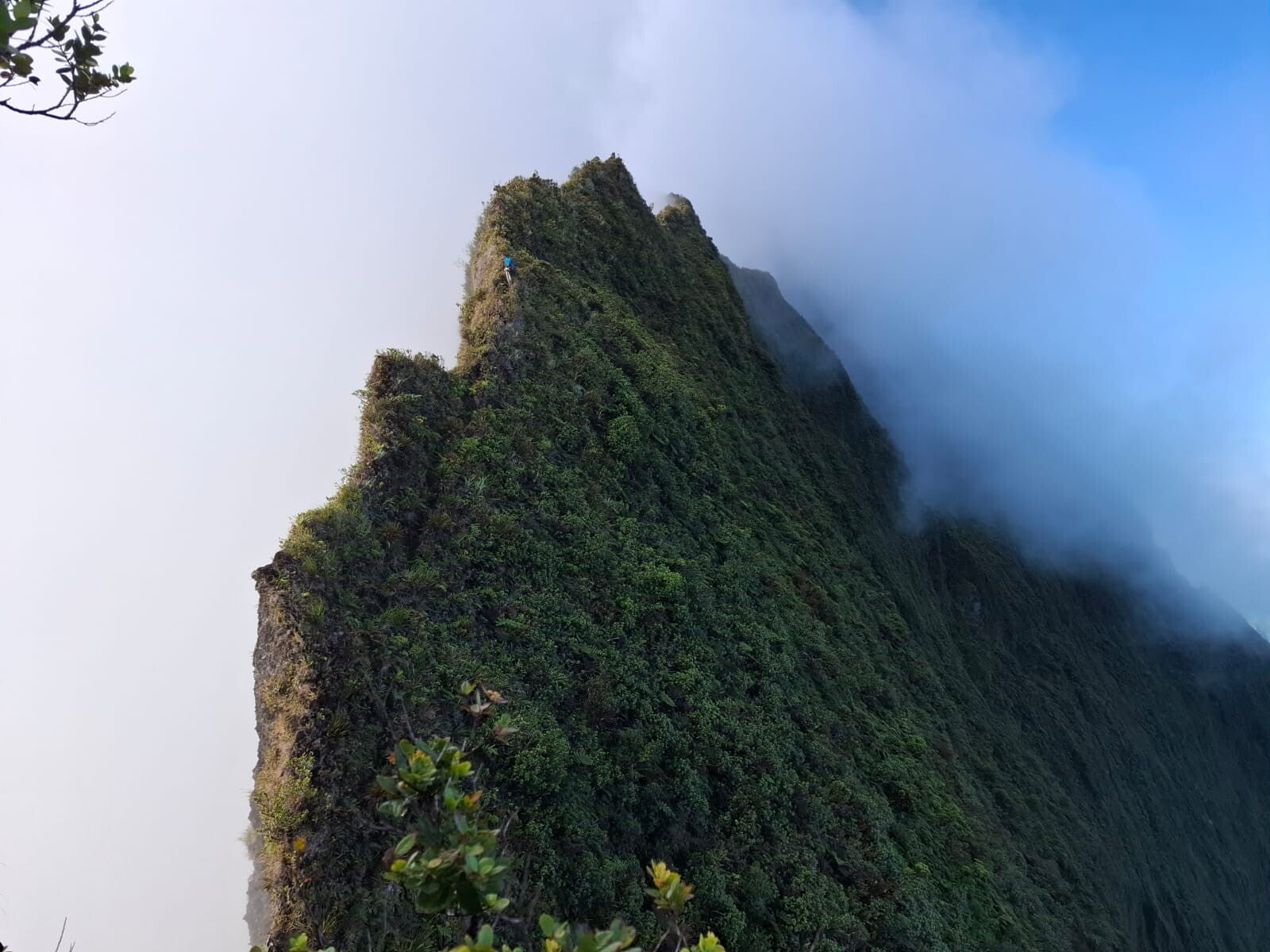
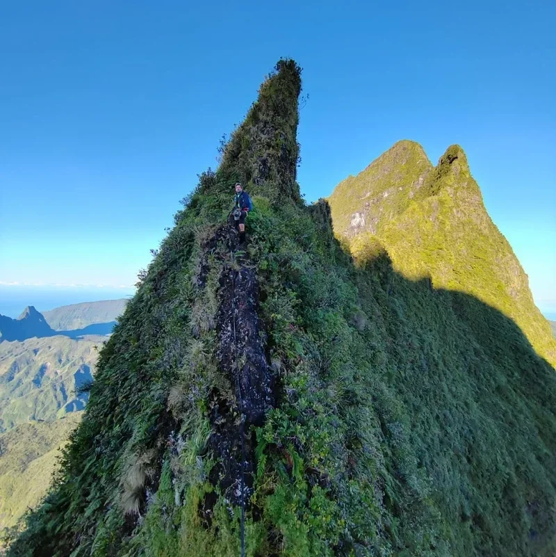
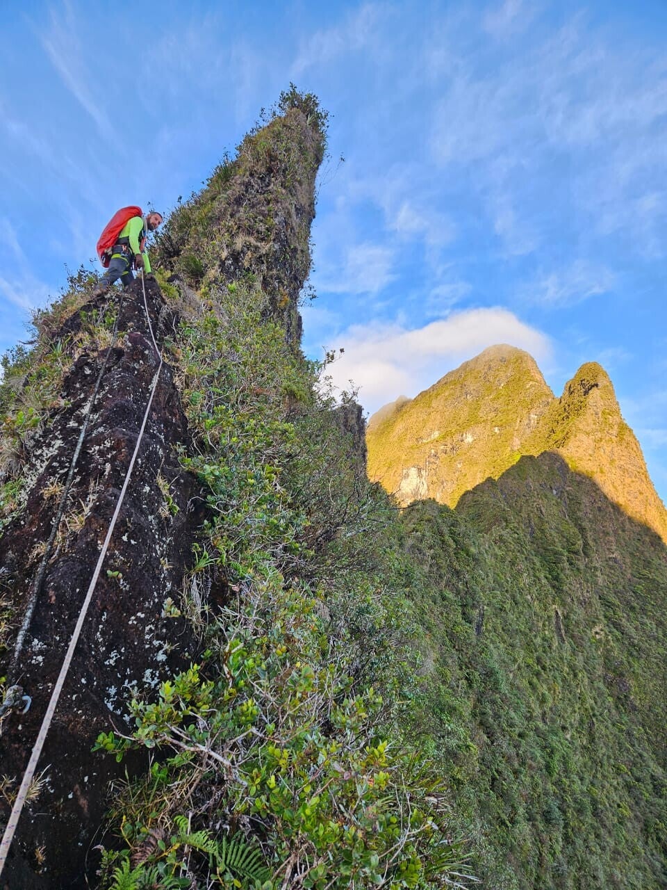
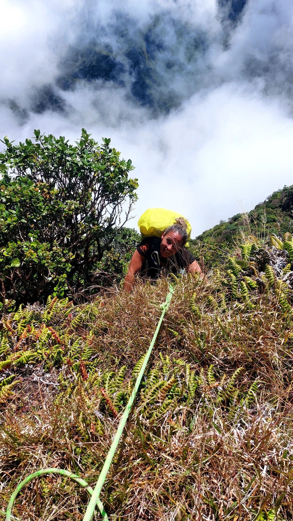
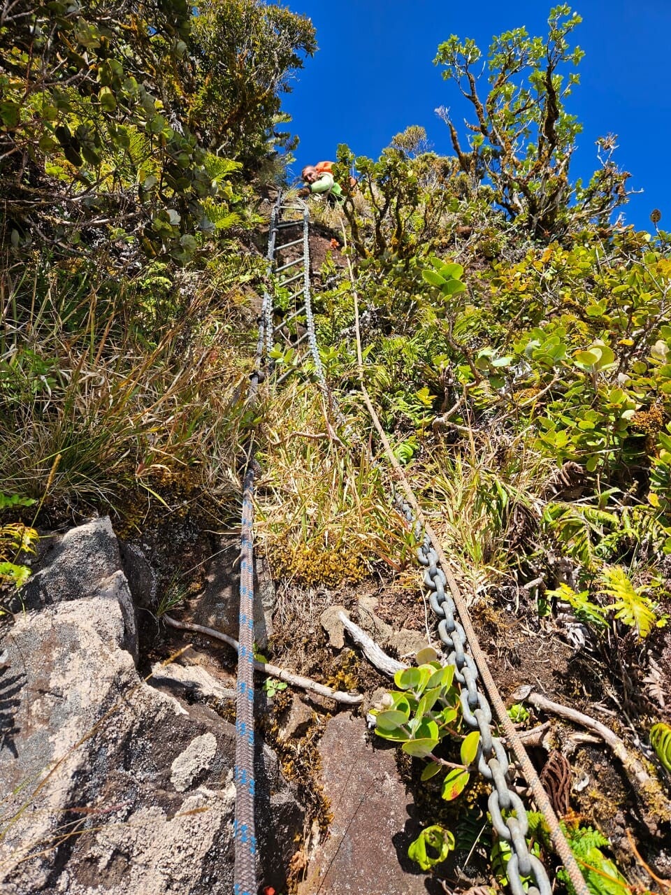
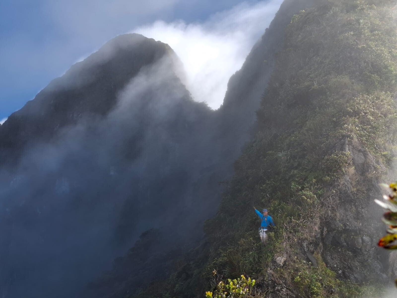
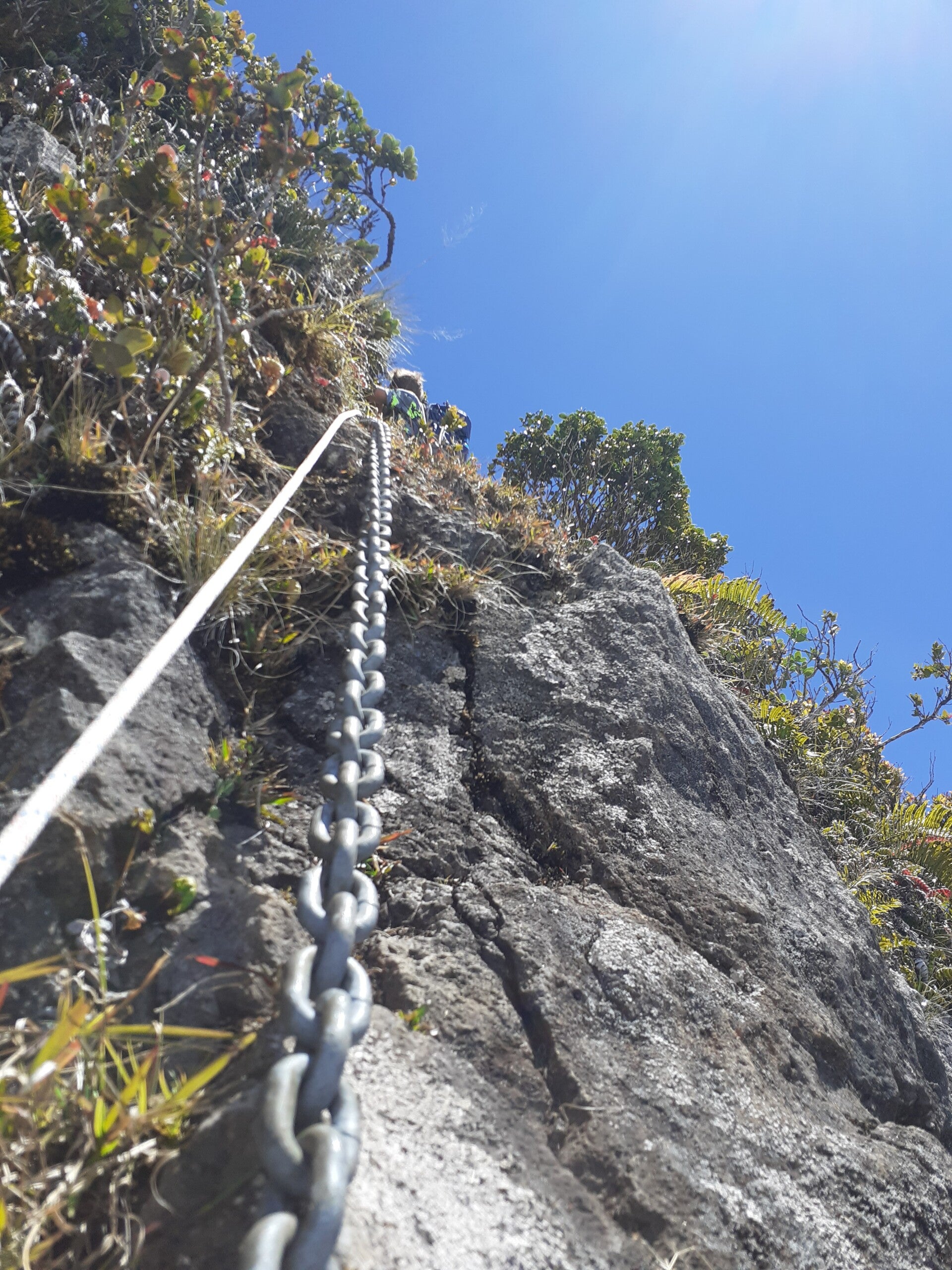
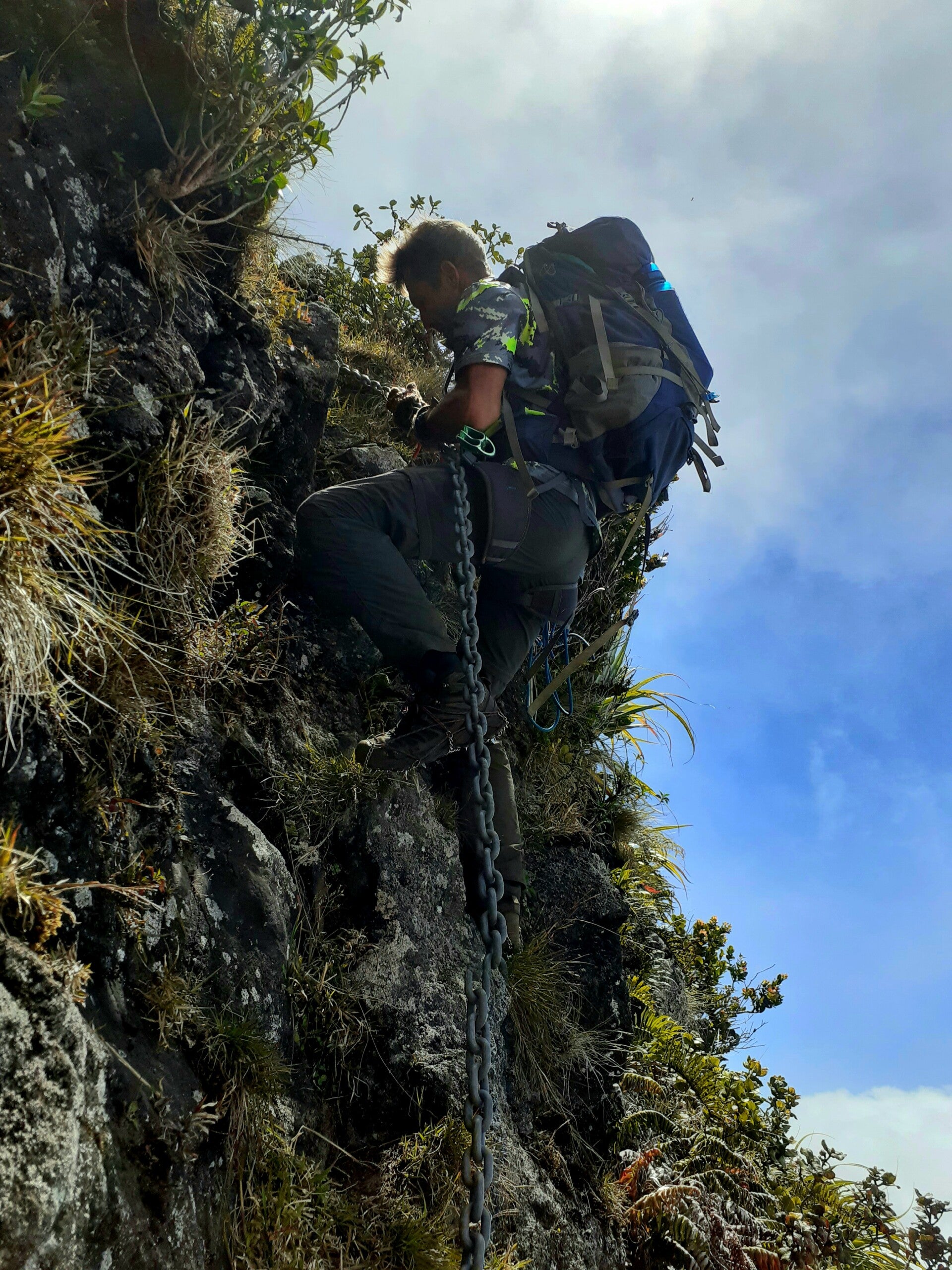
Type of terrain : Wet - slippery - steep - crumbly - dense vegetation - rope passages - climbing - narrow and exposed to strong winds.
Description
Tahitian Odyssey is the only professional guide to offer the ascent of Mount Orohena in Tahiti.
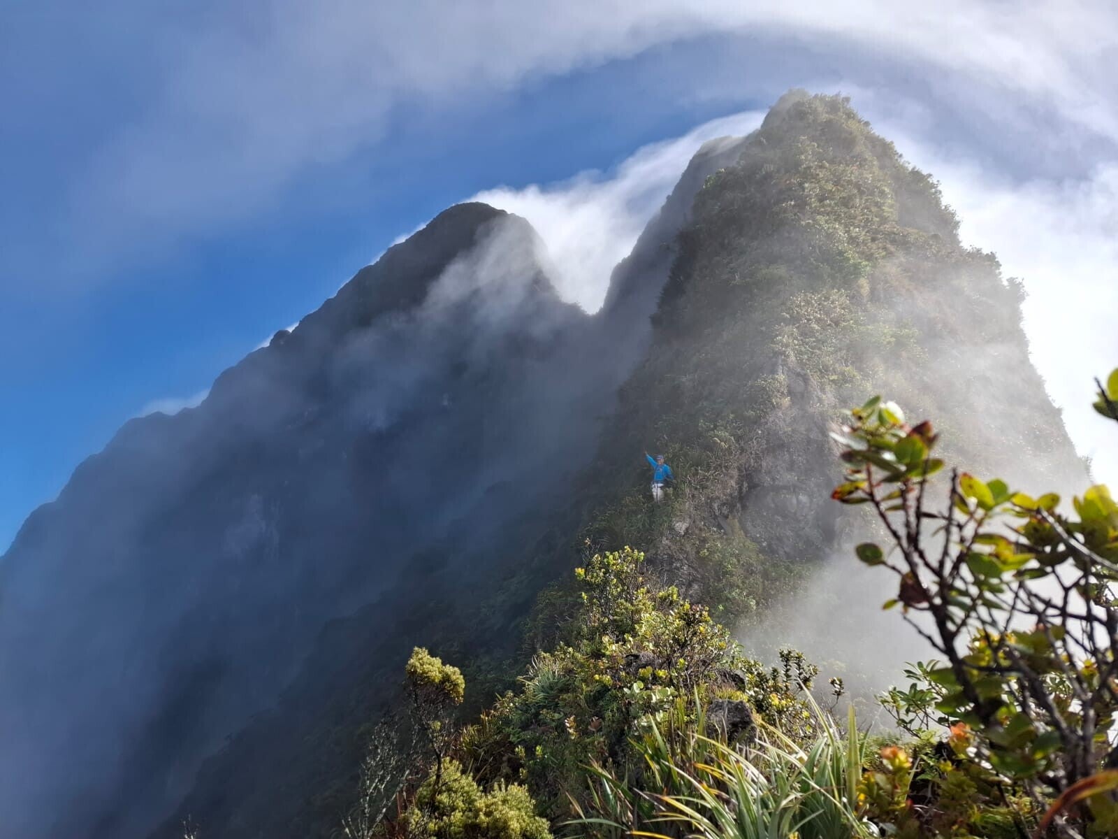
Culminating at 2,241meters, it is also the most geographically isolated peak.
It is a mixed hike, between hiking and rock climbing, similar to mountaineering in a tropical environment.
The trail is wild, rarely used, very unstable, and humid (mud, wet earth).
Throughout the ascent, there are numerous rope sections, and on the last section, between Pito Hiti and Orohena, it requires wearing a harness and progressing with a rope.
1st day > Start between 12am and 4am (depending on the weather forecast)
-
Between 2 to 2.5 hours on the "Milles Sources" Trail, access which is regulated by the Mahina Town Hall. Easy, hilly and maintained path.
-
Water supply at the "Milles Sources" Waterfall before beginning the ascent of Tahiti's 5th highest peak - Pihaiateta (see technical sheet here). A 3 to 4 hours climb with many rope sections.
-
A 1-hour break (depending on the weather and hiking time) at the summit of Pihaiateta (1,742 m / 5715 feet). Rainwater supply available.
-
Departure on the ridge leading to the foot of Tahiti's 2nd highest peak - Pito Hiti (see technical sheet here). Between 1.5 to 2 hours to get to the foot of the most difficult section of the day.
-
Ascent of Pito Hiti (2,110 m / 6922 feet) over wet and steep terrain. This is a mixed section with some climbing. It takes between 2 to 3 hours to reach the summit and Camp site.
-
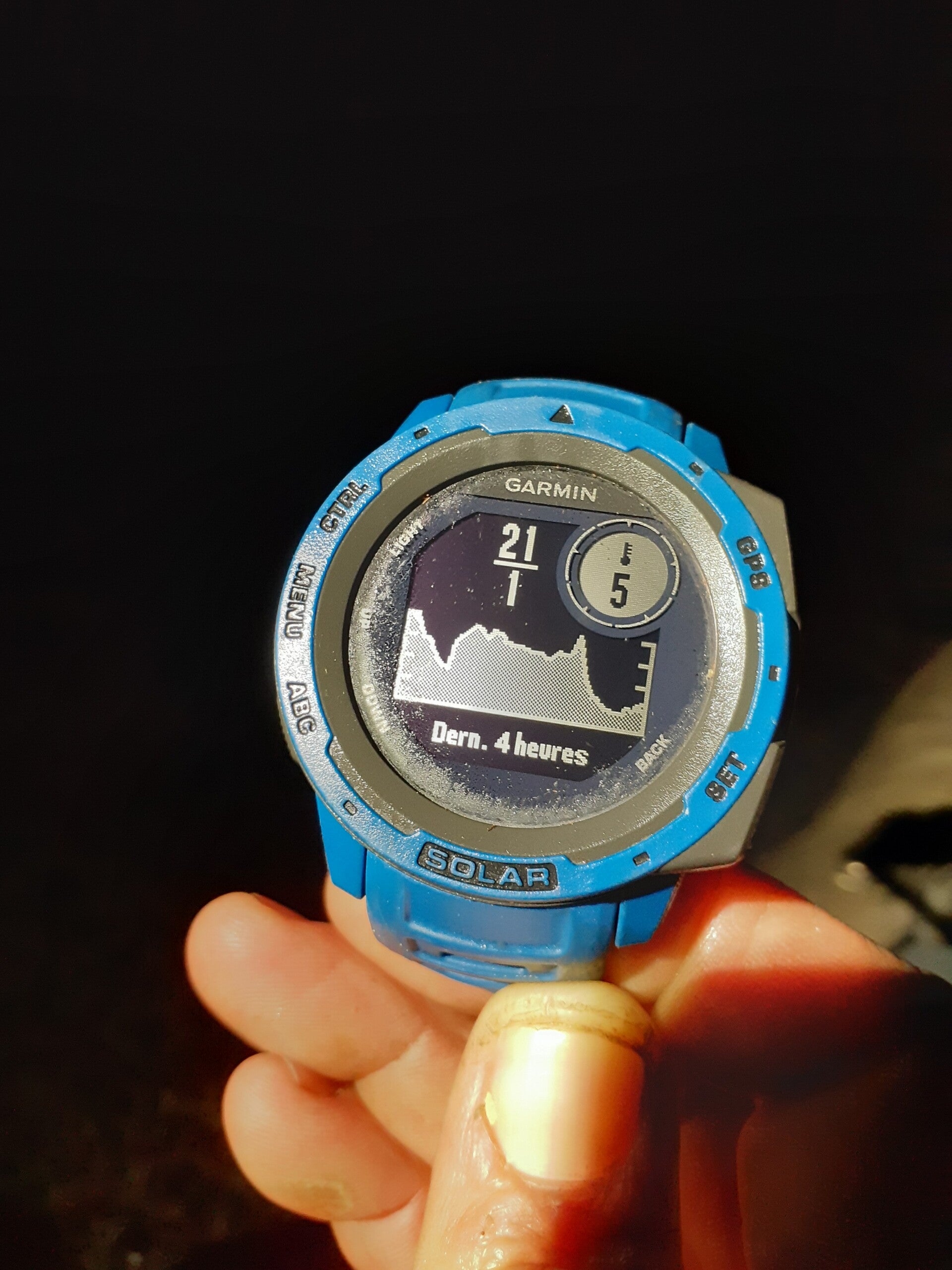
Set up camp/bivouac at the summit of Pito Hiti - Rain collector allow to shower and water supply (temperatures can drop to 1°C at night between July and October).
End of 1st day > Between 9 and 11 hours of hike.
2nd day > Start between 5am and 7am (depending on the weather forecast)
-
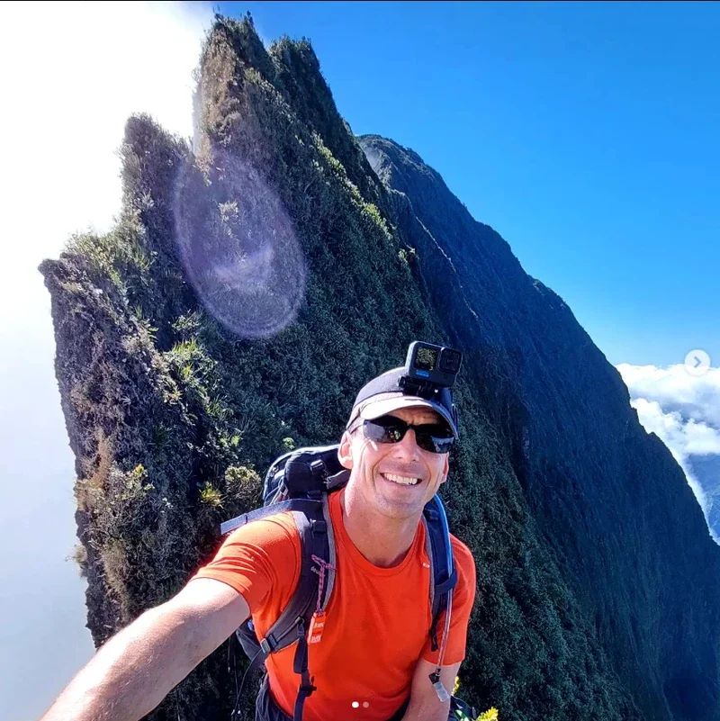
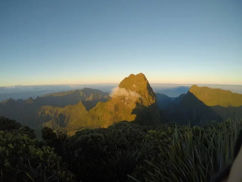
Ascent of Orohena, crossing the most challenging and exposed ridge of the route (harness and safety lanyards required) - Between 3 to 4 hours before reaching the summit of the highest mountain in French Polynesia.
-
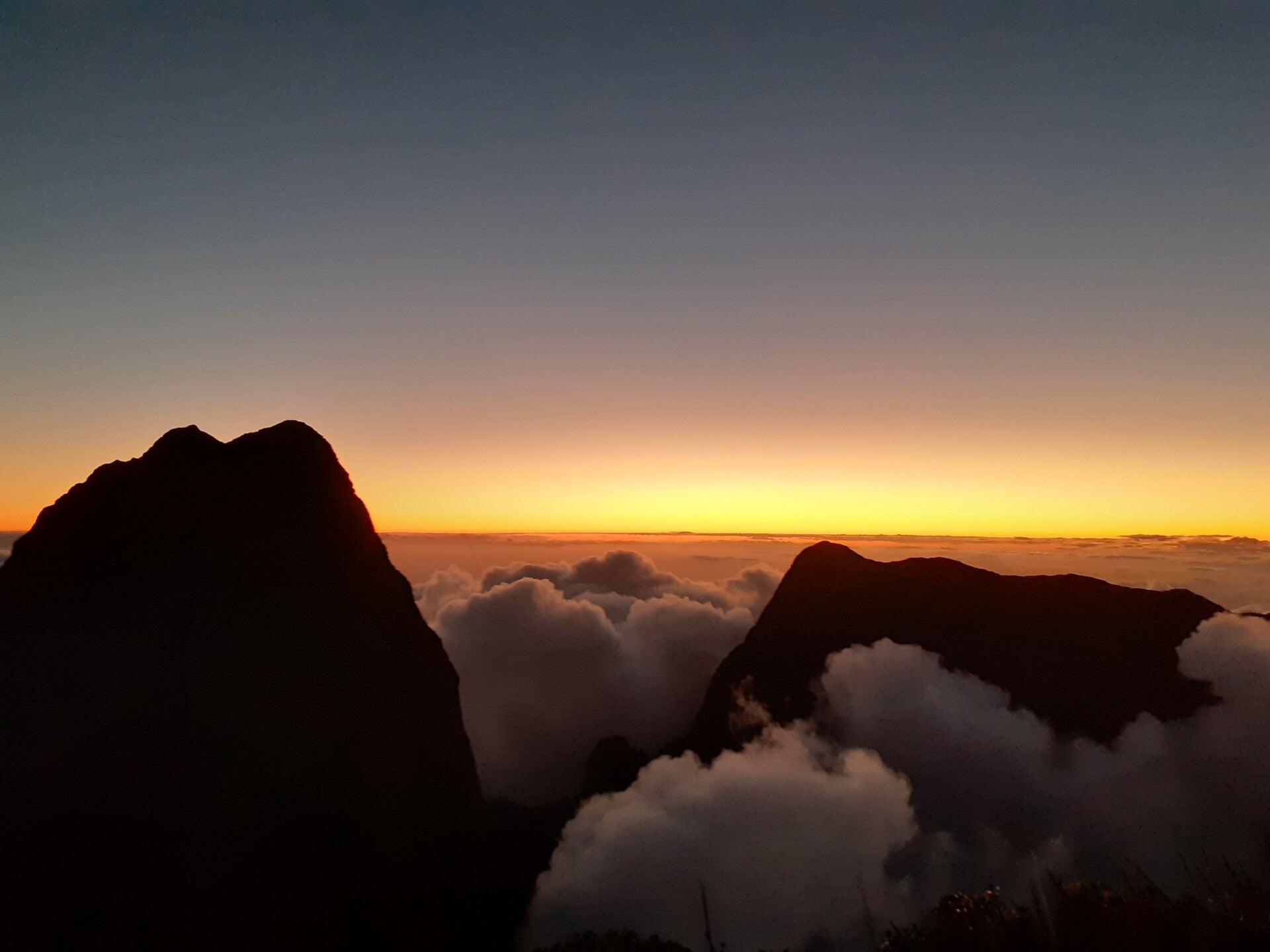
Lunch break with a 360° view of the surrounding peaks and valleys (depending on the weather).
-
Return to camp on Pito Hiti (between 3 to 4 hours) - sunset celebrations!
End of 2nd day > Between 6 and 8 hours of hike.
3rd day > Start between 6am and 8am (depending on the weather forecast)
-
Descent from Pito Hiti between 1.5 to 2 hours.
-
Return to Pihaiateta after 1.5 to 2 hours on the ridge.
-
Lunch break (depending on weather conditions and hiking time).
-
Descent from Pihaiateta between 3 to 4 hours.
-
Return to the "Milles Sources" Trail for the final kilometers - between 2 to 2.5 hours.
End of 3rd day > Between 7 and 10 hours of hike.
>>> This formula offers better management of hiking and resting times. It also allows for a flexible weather window in case of disruptions. We can enjoy the mountains and what it has to offer. <<<
*The times mentioned above are for informational purposes only but may vary depending on your physical condition, the number of hikers in the group, and weather conditions. The ascent of Orohena is not to be taken lightly; several athletes did not make it to the end and stayed on Pito Hiti. A Phone call interview with the guide is necessary to address all technical points and assess the level of hikers before embarking on this magical adventure!